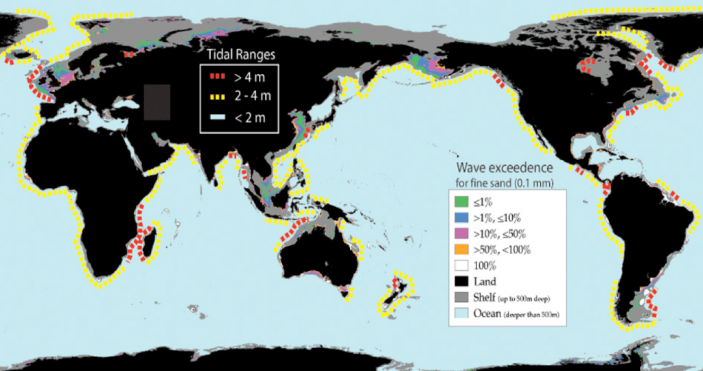
Continental shelf – defined by IHO (2008) as “a zone adjacent to a continent (or around an island) and extending from the low water line to a depth at which there is usually a marked increase of slope towards oceanic depths”. The low-water mark is taken in this study as the 0 m depth contour. The shelf break (i.e. the line along which there is marked increase of slope at the seaward margin of a shelf) was digitised manually at a nominal spatial scale of 1:500,000 in ArcGIS based on 10 m, 50 m and 100 m contours, depending on the slope and bathymetric profile of the region. In most cases 100 m contours were sufficient at the selected scale of 1:500,000 to identify the shelf break. However, where there was a gradual break in slope over a broad area, more closely spaced contours were used.
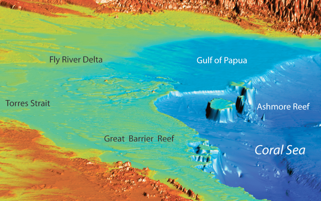
The continental shelf is the shallow seafloor, generally less than 200m in water depth, which surrounds continents and islands. Geologically, the shelf is similar to the rest of the continent in that its foundation is comprised of granitic crustal material. Strictly speaking, the shelf extends from the shoreface zone to an offshore location where the seaward dipping, low gradient (about 0.1°) shelf gives way with a rapid change in slope known as the shelf break. Continental shelves are most commonly classified on the basis of geomorphology (eg. rimmed carbonate shelves exhibit distinctive features that distinguish them from glacially-incised shelves) or tidal range (tide-dominated shelves covered with elongate tidal sand banks, for example).
In this study we classified continental shelves on their vertical relief (roughness) by assessing the vertical relief within an area of ~80 km2 to define continental shelf areas of low (< 10m), medium (10-50 m) and high (>50 m) vertical relief.


